New Hampstead, on Little Neck Road in west Savannah, is mostly ZIP 31419 and zoned for New Hampstead High. Typical value $307,589 in August 2026.
Last checked Oct. 6, 2026. Sources: the City of Savannah’s neighborhood boundaries and neighborhood association list on SAGIS, the school system’s address lookup, the state’s 2025 School Grades data, Chatham County’s 2025 parcel digest, Zillow Research, Chatham Area Transit and OpenStreetMap.
New Hampstead is a new part of the city. On the city’s map it is two neighborhoods, New Hampstead and New Hampstead East, about 7.2 square miles together on the far west side along Little Neck Road. The county’s 2025 parcel records list 1,457 parcels, 1,406 of them homes, and half of those homes list a year built of 2023 or later.
What this means for you
- Zoned schools: New Hampstead K-8 and New Hampstead High, both inside the area, for every home we checked. Confirm an address in the district’s lookup.
- Home value: $307,589 in ZIP 31419 in August 2026, according to the Zillow Home Value Index; $322,103 in 31302.
- Nearest interstate exit: I-16 exit 152, Georgia 17 and Bloomingdale Road, about 2.1 miles away in a straight line.
Part of our Savannah neighborhoods guide.
Where it is
Little Neck Road and Highgate Boulevard run through the area, and Fort Argyle Road (Georgia 204) has addresses inside it. The streets with the most homes in the county’s 2025 parcel records are Coconut Drive, Kingswood Circle, Mage Street, Turpentine Trail, Guana Lane and Firefly Circle.
- ZIP codes: 75% of homes have 31419 addresses and 20% have Bloomingdale’s 31302.
- Inside city limits: yes; the City of Savannah provides police, fire and trash service, even where the mailing address says Bloomingdale.
- Associations: the city’s list names The Pines at New Hampstead and The Cottages at New Hampstead, and the West Chatham County Community Watch for the wider area.
Homes
- Half of the 1,406 residential parcels list a year built of 2023 or later.
- Nine in 10 were built from 2021 on.
- None in the county’s records predate 2000.
Schools
All 80 homes we chose at random from the county’s parcel records and ran through the school system’s address lookup on Oct. 6 were zoned for the same two schools. Scores are 2025 College and Career Ready Performance Index (CCRPI) figures from the state’s School Grades report.
| Level | School | 2025 CCRPI |
|---|---|---|
| High | New Hampstead High, 2451 Little Neck Road (report card) | 73.9 |
| K-8 | New Hampstead K-8, 1700 Highgate Blvd. (report card) | 58.6 |
New Hampstead High’s four-year graduation rate was 91.2% in the state’s 2025 report. New Hampstead K-8 scored 59.4 for its elementary grades and 57.2 for its middle grades. More in our schools guide.
Home values
The typical home value in ZIP 31419 was $307,589 in August 2026, down 2.24% from $314,647 in August 2025, according to the Zillow Home Value Index. In 31302, which Zillow files under Bloomingdale, it was $322,103, down 2.54% from $330,507. The index is a modeled typical value for the middle third of homes, not a sale price, and both ZIP codes cover far more than New Hampstead. The citywide Savannah figure was $322,239. More in our home prices guide.
Parks
The SAGIS parks layer lists no city park inside New Hampstead or New Hampstead East. More in our parks and trails guide.
Getting around
- Interstate: I-16 exit 152, signed for the Georgia 17 Connector and Bloomingdale Road in OpenStreetMap, is about 2.1 miles from the middle of the area in a straight line. Exit 155, signed for Pooler and the airport, is about 3.3 miles.
- City Hall: about 20 miles by road to 2 E. Bay St.
- Airport: about 18 miles by road to the Savannah/Hilton Head International Airport terminal. Both are distances on the OpenStreetMap road network, measured with the OSRM routing engine, not drive times.
- CAT buses: Chatham Area Transit’s stop data shows no bus stops in the area. Check CAT’s schedules page for current routes.
Groceries and everyday stores
OpenStreetMap shows no supermarket or pharmacy inside the area. The nearest, about 3.3 miles from the middle in a straight line:
- Publix, 101 Blue Moon Crossing
About the photo
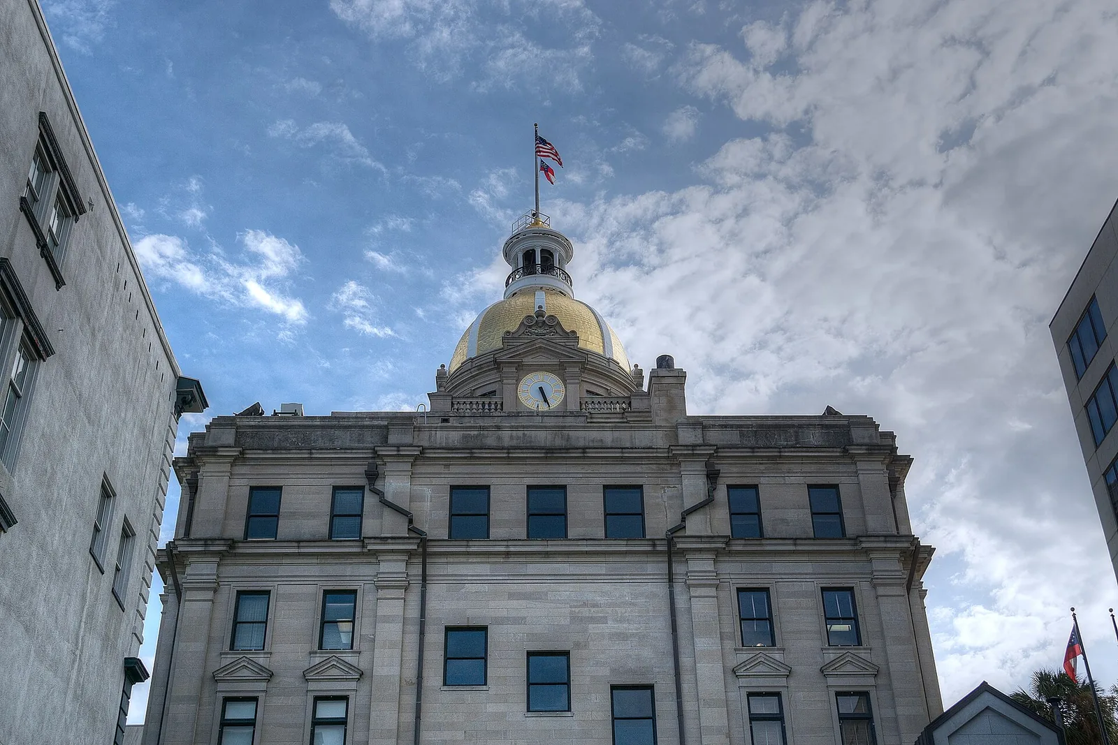
Wikimedia Commons has no freely licensed photograph of New Hampstead yet, so this page uses a photo of Savannah City Hall. If you have one you would let us publish, send it through our contact page.
How we drew this area
The edges are the City of Savannah’s boundaries for its New Hampstead and New Hampstead East neighborhoods, from the layer its Development Services Department keeps on SAGIS. School results come from 80 randomly chosen homes run through the district’s lookup on Oct. 6, 2026; the lookup and the school system decide any one address. Home counts and years built are from the county’s 2025 parcel digest. Store locations are © OpenStreetMap contributors.
Frequently asked questions
Is New Hampstead a good place to live in Savannah?
Here are the facts. New Hampstead is a city neighborhood of 1,406 homes on Savannah’s far west side, nine in 10 built from 2021 on, with New Hampstead K-8 (2025 CCRPI 58.6) and New Hampstead High (73.9) inside it. Most homes are in ZIP 31419, where Zillow put the typical value at $307,589 in August 2026.
Is New Hampstead in Savannah or Bloomingdale?
Savannah. The city’s neighborhood map includes New Hampstead and New Hampstead East, and the county’s 2025 parcel records put the homes inside the City of Savannah. About one in five homes has a Bloomingdale 31302 mailing ZIP code.
What schools serve New Hampstead?
All 80 homes we ran through the district’s address lookup on Oct. 6, 2026, were zoned for New Hampstead K-8, 1700 Highgate Blvd., and New Hampstead High, 2451 Little Neck Road. Both are inside the area.
How far is New Hampstead from downtown Savannah?
About 20 miles by road from the middle of the area to City Hall at 2 E. Bay St., by way of I-16, measured on the OpenStreetMap road network. That is a distance, not a drive time.
Have your say