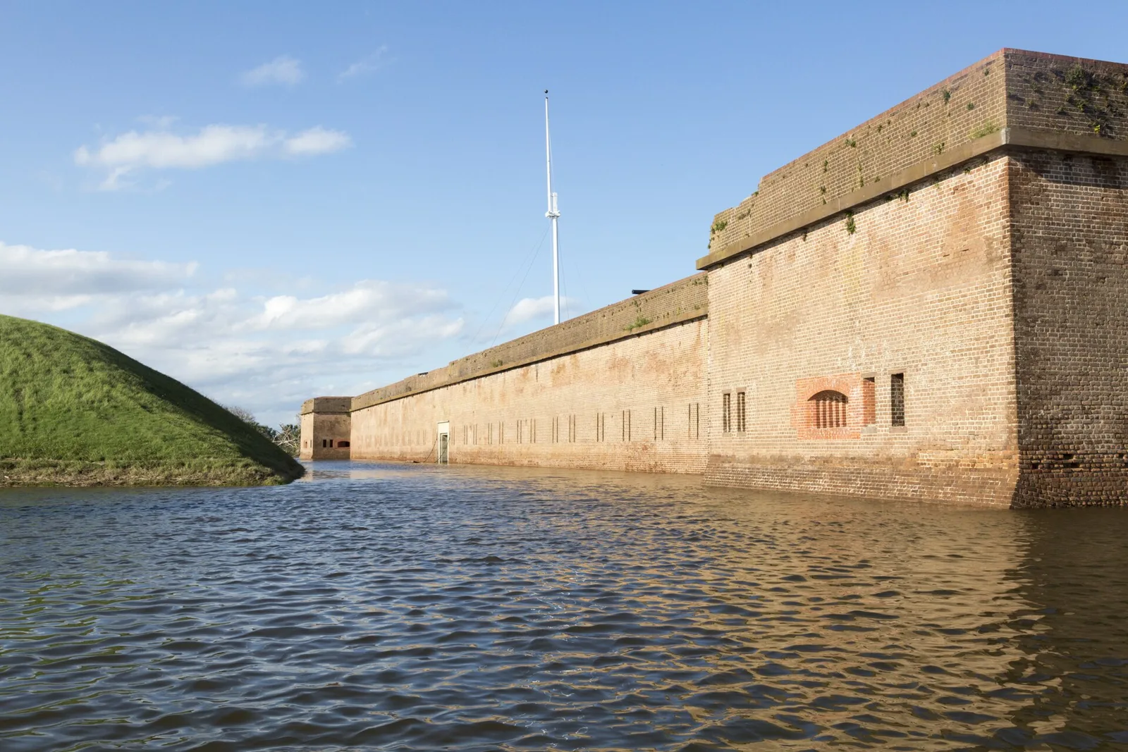
The tornado and flood watches for Savannah ended Oct. 10-11. Weather service reports list minor tidal flooding at Fort Pulaski in Chatham and tornadoes in Screven County.
Savannah and the rest of Chatham County are under a tornado watch until 8 p.m. Saturday. A flood watch runs until 2 a.m. Sunday.
Updated Oct. 15: The tornado watch ended at 8 p.m. Saturday, Oct. 10, and the flood watch at 2 a.m. Sunday, Oct. 11. The National Weather Service in Charleston’s storm reports for those two days list one item in Chatham County: shallow coastal flooding Saturday morning. The Fort Pulaski tide gauge peaked at 9.57 feet above mean lower low water, just over the 9.5-foot level where shallow flooding typically begins. The reports list no tornado in Chatham County. The nearest were in Screven County, around Newington and Oliver, about 40 miles northwest, on Saturday afternoon. Those reports are preliminary, and the weather service rates a tornado only after a damage survey. The Chatham Emergency Management Agency’s last post on the storm was update No. 4, Saturday morning.
Isaias is no longer a hurricane. At 11 a.m. EDT Saturday it was a post-tropical cyclone about 50 miles south of Birmingham, Alabama, with top sustained winds of 35 mph. It was moving north-northwest at 10 mph and is expected to turn northeast tonight into Sunday. That is the latest public advisory, number 16, issued by the National Weather Service’s Weather Prediction Center.
The storm’s center is far away, but its rain bands are not. The advisory says “a couple of tornadoes are possible today across eastern Georgia and the Carolinas.”
What is in effect for Savannah
The National Weather Service in Charleston, South Carolina, covers Chatham County. As of 4 p.m. Saturday it had these alerts in force:
- Tornado watch until 8 p.m. Saturday. The weather service extended Tornado Watch 679 at 3:42 p.m. to take in Chatham, Bryan, Liberty, Long and McIntosh counties. It names Savannah, Garden City, Pooler, Richmond Hill and Tybee Island.
- Flood watch until 2 a.m. Sunday. It covers inland and coastal Chatham County and most of southeast Georgia and southeast South Carolina.
- Rip current statement until 8 p.m. Saturday for the Georgia and South Carolina beaches, including Tybee Island, about 15 miles east of downtown.
A watch means a tornado or flooding is possible. A warning means it is happening or about to. If a tornado warning is issued for your area, take shelter at once.
The flood watch says bands of heavy rain will cross the area through the day. It forecasts 1 to 3 inches of rain in most places, with 3 to 6 inches possible locally. The heaviest bands could drop up to 2 inches an hour, enough to flood low-lying streets and poorly drained areas quickly.
A coastal flood advisory was in force from 7 a.m. to 11 a.m. Saturday around the 8:45 a.m. high tide. That came from the Chatham Emergency Management Agency’s Isaias update No. 4, posted at 9 a.m. Saturday. The agency said Isaias “tracks well west of Chatham County” and listed heavy rain, coastal flooding, a slight tornado risk, high surf and rip currents as the threats.
Tonight and Sunday
The weather service’s forecast for Savannah calls for showers and thunderstorms on and off overnight:
| Period | Forecast |
|---|---|
| Tonight | 70% chance of storms, low around 74, gusts to 23 mph, a quarter to half an inch of rain |
| Sunday | Storms possible before noon, then partly sunny, high near 81 |
| Sunday night | Mostly clear, low around 66 |
State of emergency
Gov. Brian Kemp declared a state of emergency for all 159 Georgia counties on Thursday, Oct. 8. He also told the Georgia Emergency Management and Homeland Security Agency to open the State Operations Center on Friday. The county agency said Friday that Chatham County is also under a state of emergency.
What it means for you
- Have a way to get a tornado warning tonight, including after you go to bed. A phone with emergency alerts switched on will do.
- Know your safe place. The governor’s office advises a small, windowless interior room or hallway on the lowest floor if you have no basement.
- Do not drive through water on the road. The county agency says 6 inches of fast-moving water can knock an adult off their feet and 12 inches can sweep away a small car.
- Stay out of the ocean at Tybee Island until the rip current statement ends at 8 p.m.
- Sign up for county alerts by texting CEMA to 77295.
- Stay away from downed power lines, the governor’s office says, because of the risk of electric shock.
Road closures are on our road construction and closures page.
Have your say